HARRISBURG
|
HARRISBURG |
|
|
|
|
NAME: Harrisburg COUNTY: Inyo ROADS: 2WD GRID #(see map): 2 CLIMATE: Snow in winter, warm in summer. BEST TIME TO VISIT: March thru October. . |
COMMENTS: In
Death Valley NP @ about 6000 ft elevation. It's 13 mi. N on Wildrose
Canyon Rd. off of Hwy 178, and another 5 mi off the right on
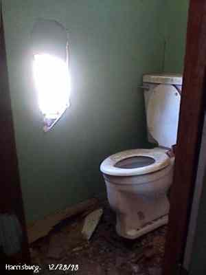
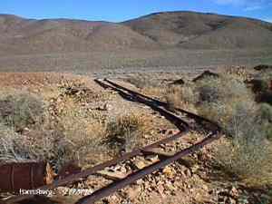
a 2WD dirt road. There is a small mine that you can walk in. REMAINS: A few buildings are left. |
|
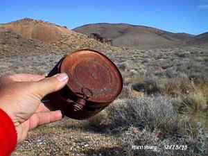
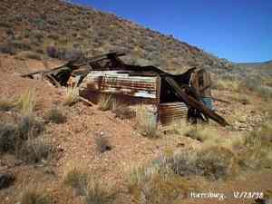
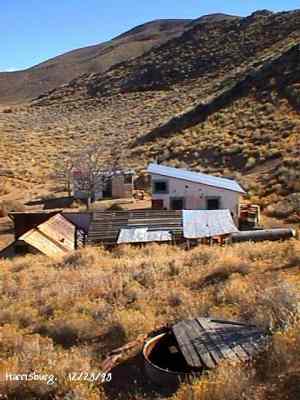
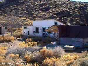
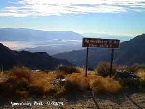
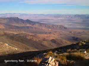
The Town is named after Death Valley miner Shorty Harris. He and friend Pete Auguereberry stake gold claims there in 1906, and very shortly a town was born. It grew to be home for several hundred other prospectors, but their homes were just tents. Within a few days of the original discovery, another claim started (which would soon become Skidoo), and everyone left. Auguereberry came back later and worked the mine for many years. The building still standing are the remains of his home. Submitted by Kurt Bayburt. 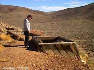 Alan Patera inspects the shaft of the Cashier Mine. This mine was originally located by Shorty Harris. In later years it ended up being mined by Pete Aguereberry, who tapped into it through his adjoining Eureka Mine. December 28, 1998. Courtesy David A. Wright 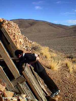 Richard Campbell peers into the hoisting works of one of the Cashier Mine portals. December 28, 1998. Courtesy David A. Wright 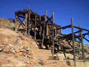 Cashier Mill ruins. December 28, 1998. Courtesy David A. Wright 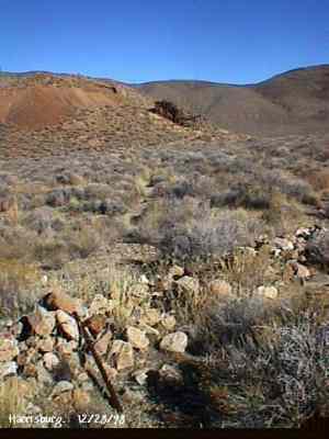 Many scattered stone footings that once held tents are found through the Harrisburg townsite. Cashier Mill ruins dominate the background. December 28, 1998. Courtesy David A. Wright 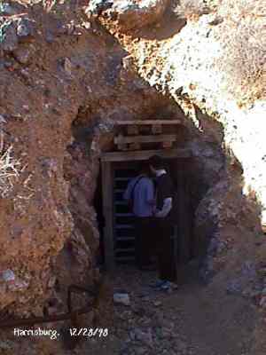 The Eureka Mine. The mine is safe enough that there are interpretive displays located inside the mine, accessible to a depth of about 300 feet. The Park Service keeps the mine closed to entrance through winter due to the hibernation habits of the Townsend Bat, which hibernates during the winter. If anyone would disturb the bat while hibernating, it could expend vital stored fats needed to keep it alive throughout winter hibernation while fleeing individuals that wander in. The mine used to have a heavy door frame, sign indicating the Eureka Mine, and wooden door up to about 1994, but has since been replaced by this one. WESTERN PLACES publisher Alan Patera and Richard Campbell explore the mine. December 28, 1998. Courtesy David A. Wright 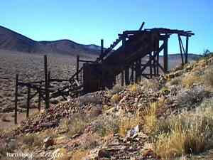 Ruins of the Cashier Mill, Harrisburg. This is located on the south side of Providence Ridge. View is southwest. Harrisburg townsite occupied the flat below the mill, comprised of primarily tent dwellings with wooden floors and subwalls. The Cashier Mill was a producer before closing down about 1911. December 28, 1998. Courtesy David A. Wright 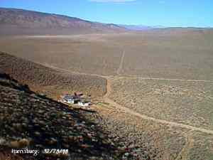 View north from the top of Providence Ridge across Harrisburg Flat. Pete Aguereberry's camp is below. The original road from Harrisburg to Skidoo runs across the valley, before turning east to run around the hills to the Skidoo townsite, about ten miles away by road. December 28, 1998. Courtesy David A. Wright |
|
|---|
|
|