LEE
|
LEE |
|
|
|
| NAME: Lee COUNTY: Nye ROADS: 2WD GRID: 8 CLIMATE: Hot summer, mild winter w/occasional raw or cold days. BEST TIME TO VISIT: Late autumn to spring. |
COMMENTS:
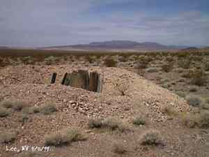
Not to be confused with nearby Lee, CA. REMAINS: Stone walls, stone foundations, mine shafts, mine tunnels, cans, broken bottles. |
|
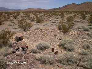
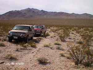
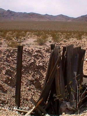
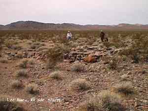
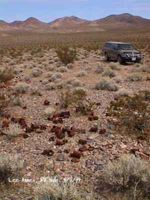
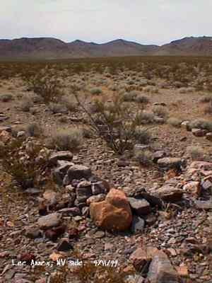
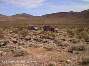
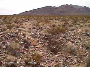
The wild Bullfrog in 1904 rush caused much prospecting to occur throughout southern Nevada and the Death Valley region of California. That year, brothers Richard and Gus Lee decided to try prospecting, leaving their ranch at Resting Spring. In November, with the help of Henry F. Finney, they found two gold ledges, which they named the Hayseed and the State Line, located at the eastern foot of the Funeral Range, 30 miles south of Rhyolite. These were located just inside California. A stampede began, and the Lee Mining District was formed in March 1905. The rush created the townsites of Lee, California and Lee, Nevada, each within sight of the other. In between, straddling the state line, was Lee Annex or sometimes referred to as North Addition. The formation of Lee, Nevada, was due to David M. Poste, who along with others, prospected some low hills east of the main Funeral Range block, and found gold. The Poste Mining District was then formed on the Nevada side of the state line. The Lee boom reached its zenith in 1907, with a population of around 600 for the entire district. Further zeal was added when the Tonopah & Tidewater Railroad, then under construction, passed within a few miles of the district and within sight on its way to Rhyolite. Lee, Nevada was always eclipsed by the more popular Lee, California. But Lee, Nevada had two things that Lee, California did not: legalized gambling and a successful baseball team that could even give that from Rhyolite a run for its money. None of the towns in the Lee region had their own water. That had to be hauled in by Adolph Nevares from Rose Well at $5 a barrel. That price prompted most to travel to Rhyolite for their baths. The financial panic of 1907 caused dull times in 1908, leading to the eventual death of all the Lees. Today, at Lee, Nevada, one can find a few empty mine shafts and tunnels, a few stone foundations and one set of stone walls, and a lot of tin cans. Glittering bits of broken glass lay strewn where once men's dreams were of glittering bits of gold. Submitted by David A. Wright, Great Basin Research.
|
|
|---|
|
|